
Digitalise and transform your territory with Clotitec
Your municipality's data in real time, processed with AI and shown where your residents and visitors need it.
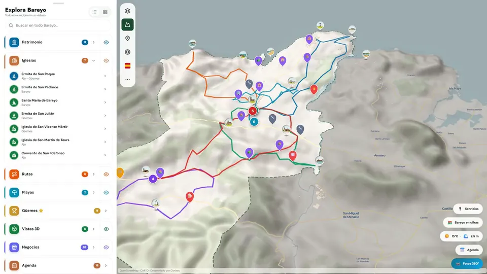
Bareyo · From the municipal map to the Santa María page, with an immersive view and an audio guide.
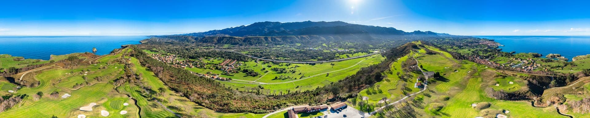
Real drone flight · Llanes coast
Trusted by






Drag to see the difference
Compare the municipality on paper with its digital territory: 360° hotspots, signposted trail and live data layer.
Real product capture: the routes of Llanes. On the left, the same information as it would arrive on paper.
Santander, right now
Real open data · Open-Meteo · auto-updates every ~10 min
- Temperature22,2°CMostly clear
- Feels like25,1°C
- Wind2km/h
- Humidity82%
- UV index0,0UVLow
- Swell in the bay1,0m
- Sea water20,4°C
- Air quality30EAQIFair
This is what one integrated source looks like. The platform connects AEMET, DGT, GTFS, municipal sensors and 30+ more sources: all your municipality's open information and APIs, unified on a single platform.
Light up your territory
Your municipality already generates data every day. Move the spotlight over it and discover what no one sees today.

Your municipality already generates this data.
It's just that no one sees it.
Illustrative figures — with the platform these would be your municipality's real data. Real image: drone flight over the Llanes coast.
Who are you?
Tell us and we'll show you exactly what's relevant: cases for your profile, your legal fit and which fund can pay for it.
I'm from a local council
Mayor's office, councillor or clerk: procurement fit, funding sources and arguments for the double yes — government and comptroller.
See the case for local councilsI'm from a company
Industrial parks, golf, hospitality and private heritage: digitalisation that shows in occupancy and in brand.
See the case for companiesAnother profile
Developers, day centres and care homes, sports facilities: there's a path ready for each one.
See all profilesPlatform
Your whole territory, on a single platform
What we're capable of
A browsable selection of digital twins, interactive trails and public demos. The footage is real; sensitive client data is never exposed.
Digitalización de Llanes · Costa 360 y rutas de senderismo
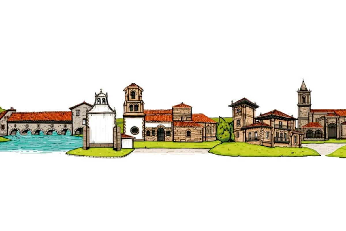
Bareyo Digital · QR integrado
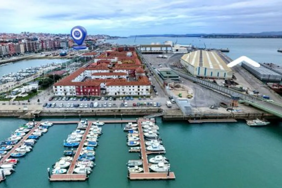
Digitalización audiovisual · Bahía de Santander

Digitalización de rutas · Vías Verdes de la Región de Murcia
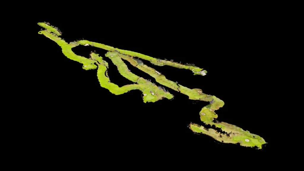
Llanes Golf · Digitalización campo premium
Rise up. Raise the bar. Break the record.
The pole we've spent years capturing your territory from up high with is the same one we use today to elevate it above the data. Four phases, no surprises, with clear deliverables: we never sign a large project without discovery first.
What sets us apart: we capture your territory with every medium.
360° Street View
Navigable, point-to-point immersive tours.
Drones
Aerial footage with an AESA-certified operator.
Photography
Professional, high-resolution imagery of the territory.
Video
Audiovisual pieces for outreach and promotion.
- 01Grip
Plan
We take hold of the pole: we analyse your systems, available data and goals. 1-2 weeks.
- 02Run-up
Design
We build speed: wireframes, technical architecture and an integration plan validated before we code.
- 03Plant
Development
We turn speed into height: fortnightly sprints with a demo and test environment from day one.
- 04Vault
Delivery and support
We clear the bar: rollout with a rollback plan, team training and clear SLAs.
+1 cm. Always. We don't disappear after delivery: continuous, measurable improvement — every new service, every minute saved, raises the bar for your territory.
Are you evaluating digitalising your municipality?
Tell us about your case in the territorial configurator: three minutes and we'll guide you, no strings attached. If it's not for you, we'll tell you.
Direct contact


Shall we help you set up your system?
30 minutes with a consultant. We'll show you which platform layers fit your municipality's size and the data you already have. No strings attached, no hard sell.