
Let people discover your municipality before they arrive
Aerial 360° tours, a 3D map of the municipal area and audio guides in over 12 languages, on a single platform for your council.
- 31beaches and coves of Llanes in 360°
- 14hiking trails with audio guide
- 12+languages in the audio guides
- 5tourist destinations already deployed
- 16data sources, each with its date
Trusted by







What do you want people to see of your municipality?
Your coast, your golf course, your heritage and your trails, told from the air and ready to show.
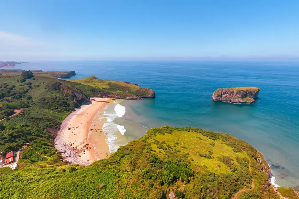
 CoastTorimbia beach31 beaches and coves of Llanes, from the air and in 360°
 GolfLlanes municipal courseThe municipal course, hole by hole
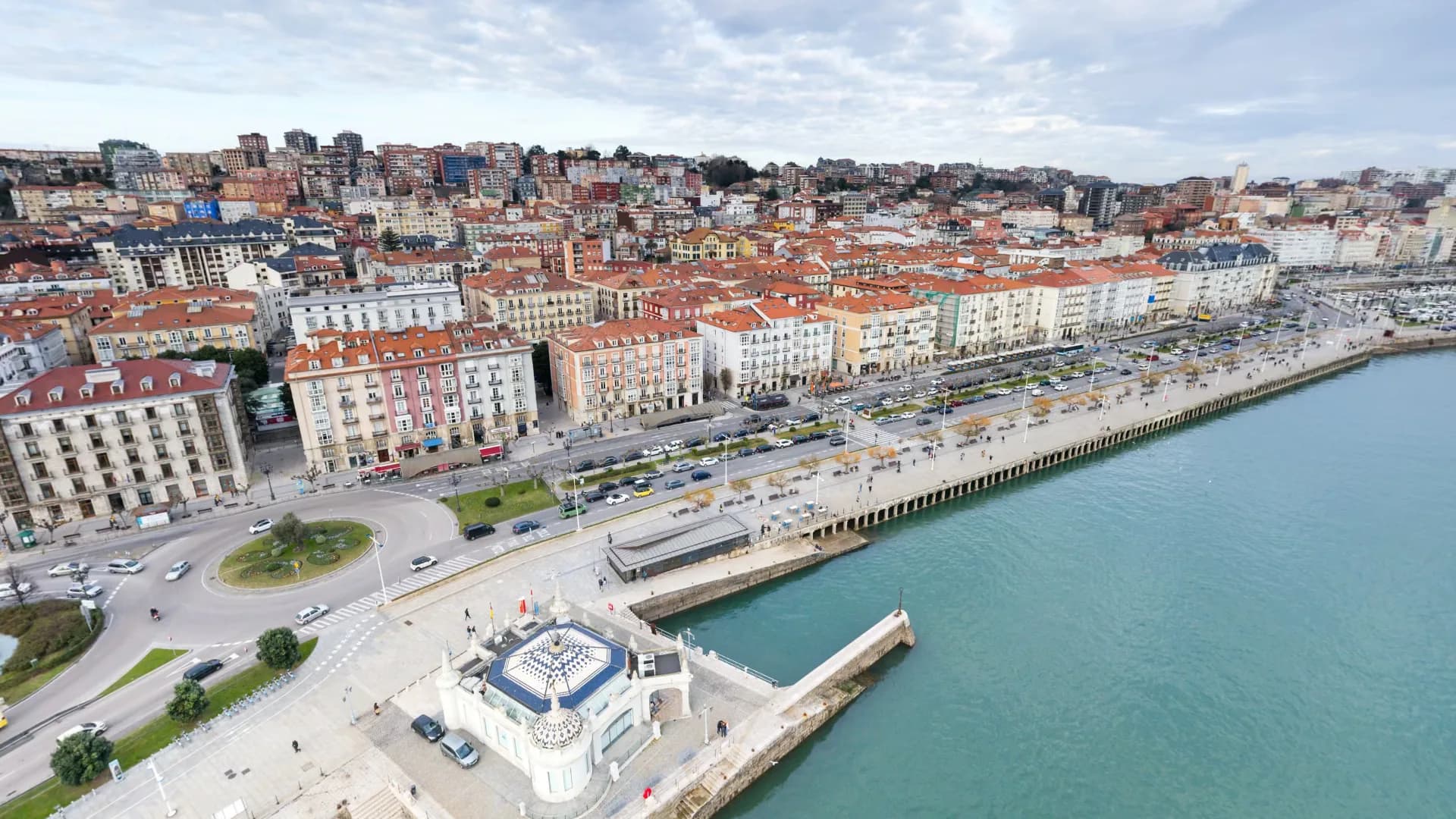
 HeritagePalacete del EmbarcaderoAs a virtual tour, over the Bay of Santander
 TrailsBufones de PríaPaths with video, elevation profile and audio guide
 TownThe town of LlanesStreets and access points in 360°, also on Google
What we do, working in real municipalities
Behind every piece there is a town council or a port already using it. Select any of them to see the full solution.
 Tourism
Aerial 360° tours
Our own capture with a drone and an AESA-certified operator, no subcontractors.Open to the public · LlanesSee the solution Trails
Audio guides in 12+ languages
By QR and with no app to download, at every point along the trail.Real case · LlanesSee the solution Public roads
Municipal Street View
Streets, paths and access points in 360°, published on Google and on your website.Real case · Port of SantanderSee the solution Golf
Golf, hole by hole
Aerial video and photos of every hole, with a 3D view of the course.Real case · LlanesSee the solution Heritage
 in 3D
360° tour of the lighthouse, digital trail with augmented reality and aerial content.Real case · Ajo LighthouseSee the solution Data
Live data for the destination
Sea and tides, air, next bus and events, each data point with its source and date.Public catalogue · 16 sourcesSee the solution
Success story · Llanes Town Council
The whole Llanes coast, explorable before you arrive
- 31beaches and coves photographed from the air in 360°
- 14hiking routes with audio guides in over 12 languages
- 18holes of the municipal golf course, captured as a 3D model
 Coast · LlanesCuevas del Mar beachWith its navigable 360° panorama, in the public gallery
Explore the Llanes coast from the air
The same tour visitors use, open to the public: the points along the coast with their 360° drone panoramas. It only loads if you open it. Open it in a new tab
See your municipality inside Clotitec
Type in your municipality. In a few seconds you will see its area in 3D, its places with photos in the app your visitors would use, and what your council would receive.
Try: · ·
Four phases, no surprises How we work
We never sign a large project without a diagnostic phase first.
Diagnostic
1-2 weeksWe analyse your systems, the data you already hold and your goals.
Design
Before any codingScreens, technical architecture and integration plan, validated with you.
Development
15-day sprintsA demo every fortnight and a test environment from the first sprint.
Delivery and support
With clear agreementsGo-live with a rollback plan, team training and support.


Shall we help you set up your system? let's talk
30 minutes with a consultant. We'll show you which platform layers fit your municipality's size and the data you already have. No strings attached, no hard sell.