
3D planets
Your municipality, whole in the palm of your hand
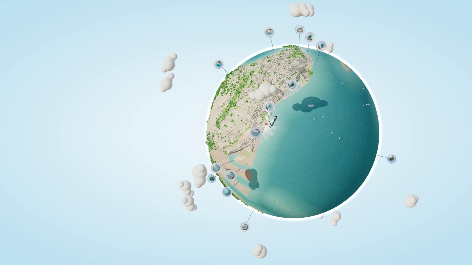
Each planet is a real territory turned into a sphere you spin with your finger. 360° panoramas orbit around it like moons, and one tap takes you inside.
Open
Port of Santander
Santander · from Cabo Mayor to Astillero
The whole bay: docks, neighbourhoods, beaches and the drone panoramas to step into every corner.
- Places
- 15
- 360° views
- 114
Featured places
They open the planet already inside the place.
Open demos, no sign-up. They load from their own site and only when you ask.
Real territory, to explore with your finger
Real territory
Streets, buildings and coastline come from OpenStreetMap open data, not from a mock-up.
Panoramas as moons
Each place is a moon with 360° drone photos: tap it and you step inside, with no cuts.
Links to every place
Each place and each panorama has its own link: share it and the planet opens right there.
For your municipality
What would your municipality’s planet look like?
Tell us which places you want to show and we will show you how it would look.
- Your real territory, from OpenStreetMap.
- Your 360° panoramas as moons.
- On your phone, nothing to install.